Thousands of years ago, as the human race evolved from apes, one of the characteristics, which defined the human race’s remarkable development, was the ability of its members to walk upright. This trait of personal mobility, powered by only human legs, has stood us in good stead throughout urban history. In extreme situations it has resulted in remarkable achievements as we collectively attempt to push the limits of human mobility.
At the recently completed Olympics 2016 in Rio, the legendary Usain Bolt – the fastest man on Earth – ran a distance of 100 metres at a speed of more than 35 kilometres per hour, and Eliud Kipchoge of Kenya ran the Marathon – a distance of a little more than 42 kilometres – at an average speed of nearly 20 kilometres per hour. While few urban citizens can dream of even coming close to these numbers, walking is a capacity all humans are born with. As an architect and urban planner and a true lover of cities, I believe that walking must continue to be valued as the most important way of human propulsion within cities. While none of us can match the achievements of Usain Bolt or Eliud Kipchoge, most of us can have a brisk walk at 5 kilometres per hour, while an easier walking pace can bring us up to a distance of 3 kilometres in an hour.
The blessings of walkability
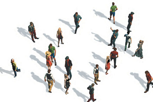
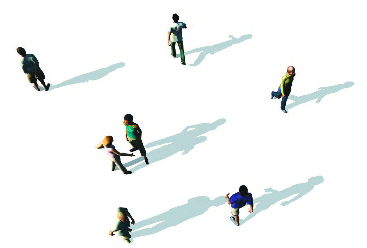
Walkability is the cornerstone and the key to efficient movement in cities. No matter which mode of transport one uses in cities, the journey always begins and ends with walking. Walking remains – and will remain – the cheapest and most inclusive mode of transportation for all citizens.
The making of a truly walkable community provides the most affordable and equitable transportation any community can plan, design, build and maintain.
Also, without a doubt, it is the most sustainable of all urban solutions making the least demands on Earth’s resources. If designed properly, such communities are of human scale, offering citizens more interaction with each other and the community at large, increasing their involvement therein, with the potential of reducing alienation and consequently crime.
The advantages of promoting walking:
1. Economically sensible: It costs less to build pedestrian infrastructure than any other form of mobility. Some studies in the US, including one by J. Cortright, have shown that walkability of cities can translate directly into increase in home values.
2. Socially just and inclusive: Every citizen, irrespective of his/her ‘standing’ in the society can participate on equal terms.
3. Environmentally sustainable: Few irreplaceable resources, besides human power, are depleted.
4. Leads to healthier living: Even the Surgeon General Vivek Murthy of the USA in 2015 made a call for promoting walking, which is said to offer benefits against diseases like diabetes, high blood pressure, heart diseases and some forms of arthritis. It also fights the increasing urban ailment of obesity.
5. Increases civic engagement and pride: This leads to lesser alienation and happier citizens
“Cultures and climates differ all over the world, but people are the same. They will gather in public if you give them a good place to do it.” – Jan Gehl
Cars Are Out, Two Feet Are In
The basis for ushering in a revolution in walkability in cities is three-fold:
Firstly, make walkable neighbourhoods, where most daily functions can take place within 5-10 minutes walking distance (maximum 0.5 km) from a person’s home. Walkable communities are by definition ‘mixed-use’ since most of the amenities offered within walking distance from homes are located within or next to residential areas. Proximity to daily amenities is the key word in designing walkable neighbourhoods.
Secondly, prioritise efficient and easy-to-use public transport infrastructure above investments in infrastructure for private cars, making use of smart taxis offered by companies such as Uber to make cars available on demand, while at the same time discouraging private car ownership.
Thirdly, create excellent infrastructure for cycles so that most citizens can use peddle-power for daily trips that are too long to walk. In cycle-friendly Amsterdam, 63% of the citizens use their bikes on a daily basis. 32% of traffic movement in the city is by cycles as compared to 22% by car and 16% by public transport.
The ten golden rules for making cities walkable:
1. Make pleasurable and pleasant pedestrian networks priority number one.
2. Make proximity of amenities to residences a guiding principle. Higher residential densities will help achieve this goal more easily.
3. Make landscaping of public spaces imperative so that walks in cities are pleasant.
4. Design public spaces not only for pedestrian movement but also for more citizen-interaction. Engagement with cities leads to civic pride.
5. Create a safe and an easily usable infrastructure to promote peddle-power i.e. cycling. Cycling is a great non-polluting and healthy way to go about a city. Prioritise this above vehicular traffic.
6. Promote public transport that is pedestrian-friendly. Public transport is in fact a form of mobile public-space. Public transport halts too can be so designed as to double up as local neighbourhood amenities.
7. Enforce urban design guidelines to ensure that buildings along pedestrian routes are pedestrian-friendly.
8. Put cars in the place where they belong: at the periphery of pedestrian areas and subservient to pedestrian movement. Reduce the investment in infrastructure for cars and finance pedestrian infrastructure instead.
9. Create a legal framework wherein when different forms of movements meet, the rights of pedestrians come first and those of private cars last. Educate citizens, from the youngest age possible, to respect pedestrians in urban traffic.
10. Use the newest technology to create disruptive and revolutionary solutions for pedestrian movement in cities.
“The right to have access to every building in the city by private motor car in an age when everyone possesses such a vehicle is actually the right to destroy the city.” - Lewis Mumford
Unlocking the walking revolution
Considering the many innovative and disruptive solutions now being launched regularly around the world in different fields, I strongly believe that it is time designers of cities thought of using new technology to make walking more effective and efficient and also more pleasant and stimulating.
Some of the possibilities of using new technology
1. Travellators and Escalators: Walking can be vastly improved if we could design public spaces with built-in travellators. These are commonly used in public spaces like airports, but they could be used on streets too. In Hong Kong, the public escalator, bridges the gradients, supports and promotes the walking activity of thousands of its citizens. In fact, in Hong Kong this vast circulation network for pedestrians, assisted by escalators and travellators, is so extensive that one can be out doing errands the whole day in the city, safely elevated above cars without ever touching the ground!
2. Automated Street Furniture: The proliferation of cheap movement sensors can be used to design special street furniture that can sense human movement to provide amenities that make walking a pleasure: umbrellas which open to provide shade from the hot sun, water-sprays that provide cooling and lights that provide illumination. The use of solar panels to create shade while at the same time generating sustainable energy for lighting, heating or cooling is another idea.
3. Kinetic pavements: The energy of the footfall of thousands can be utilised. London-based start-up Pavegen has developed a special energy-harvesting tile made from 95% recycled tyres that flexes by 5 mm. when stepped on, resulting in upto 8 watts of kinetic energy over the duration of the footstep. Enough tiles and footsteps can create sufficient energy to be stored in batteries or to help power streetlights.
“A protected bicycle lane in a city in a developing country is a powerful symbol, showing that a citizen on a $ 30 bicycle is as important as one in a $ 30,000 car.” – Enrique Penalosa
Information technology-based platforms and apps can be used to promote walking
1. Ridescout, Walkscore, Walkonomics and Transit Screen have emerged in response to citizens wanting more information-rich mobility options.
2. Apps such as Weeting promote the use of walking meetings, giving information to those who want to hold a meeting while taking a walk, instead of sitting in a room.
3. The global success of Pokemon Go, the location-based augmented reality game, also is an indication of how such games and initiatives can be used to make those people walk who would otherwise simply be sitting in their rooms behind computers.
Technology can be used to help those who are less inclined, or physically or mentally challenged, to walk
1. Smart walking stick: Companies like Fujitsu have developed this stick with built-in satellite navigation. This next generation cane is designed to help the elderly find their way and allowing their medical superintendent to monitor such things as their heart rate. Via this next generation cane the location of its user can be followed online while it can be programmed to guide its user to follow a particular route by using vibrations as a guiding tool. Cisco has also developed a smart walking stick for the visually impaired.
2. High-tech shoes: Companies like Lechal make footwear, which can be programmed to guide its wearer to follow a certain route. At important intersections the shoe vibrates in a particular way to point you in the direction of your destination. Great for those with orientation problems.
3. Wearable robotics: To Help those who cannot walk with their own strength. For example, the flexible Indego Exoskeleton is designed to rehabilitate people after an injury. However, there is no reason to doubt that within the foreseeable future, special robotic suits will be available that will give humans superhuman abilities to walk great distances.
What all these possibilities show is that the pedestrian revolution is about to begin. If only policy-makers and designers decide to make the most use of them.

Comments (0)